
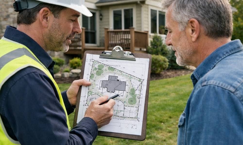
When a surveyor finishes checking your property, they’ll hand you a land survey report. It might seem like a lot of confusing papers at first, but don’t worry. This guide will help you understand what everything means so you know exactly what the surveyor found about your land.
What’s in Your Survey Report?
Your survey report has three main parts. The survey map is a drawing that shows where your property starts and stops. The legal description is text that officially identifies your property using measurements. The certification page is signed by the surveyor to prove the work is real and correct.
Think of it like this. The map is the picture. The legal description is the instruction manual. The certification page is the promise that everything is accurate.
Understanding the Survey Map
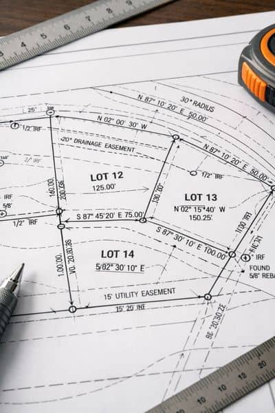
The survey map shows your property with colored lines around the edges. These lines mark your property boundaries. They show exactly where your land ends and your neighbor’s land begins.
Look for small symbols on the map corners. A cross or circle means the surveyor found an old marker already in the ground. A different symbol means the surveyor put a new marker there.
Numbers between the corners show how far your property extends. For example, you might see “250 feet” written on a line. Other numbers show direction. You might see “N 45° E,” which means the line points northeast at a 45-degree angle.
All these symbols and numbers work together to show your property’s exact size and shape.
Easements: When Others Can Use Your Land
Easements are shaded areas on your map. They mean someone else has permission to use part of your land. Common easements include utility lines for electricity, water, and gas. Road easements let people drive across your property.
Easements matter because they limit what you can build. If a utility easement crosses your land, you cannot build a house or shed there. The utility company needs to access the lines for repairs.
Read every easement carefully. Ask your surveyor to show you exactly where it is and what it allows.
The Legal Description: The Official Name of Your Property
The legal description is the official way to identify your property. It uses special words and measurements that everyone in real estate understands.
In Kansas, most properties use a grid system called township, range, and section. An example reads like this: “the east half of Section 15, Township 15 South, Range 28 West.” This tells you exactly where your property sits on a map of Kansas.
Some properties use a different style called metes and bounds. This describes your property by listing distances and directions. It might say: “starting at the corner and running south 150 feet, then east 200 feet, then north 150 feet, then west 200 feet back to the start.” This draws a picture of your property using math.
Check that your survey’s legal description matches your deed. Your deed is the paper that proves you own the property. If these don’t match, tell your surveyor right away.
Symbols on Your Map
Every surveyor uses the same symbols. The survey legend explains what each symbol means on your specific map.
Common symbols include:
- Circles or tree shapes for trees
- Rectangles for buildings
- Dashed lines for fences
- Small triangles for utility poles
- Blue lines for water
These symbols help you see what’s on your property and where everything is located.
Things to Check Before You Accept Your Survey
Before you say the survey is complete, verify these things:
Are all the property corners shown on the map? Did your surveyor mark them or find them? Does the total square footage match what you were told when you bought the property? Does the legal description match your deed exactly? Are there any easements you did not know about?
Look at buildings and fences. Do they sit fully on your property? Does anything cross the property line onto your neighbor’s land? If so, this creates a legal problem you should know about.
Red Flags to Ask About
Some survey findings need explanation. Ask your surveyor about:
Property corners that the surveyor could not find. Easements without clear explanations. Structures like fences or sheds that cross the property line. Square footage that does not match your purchase documents. Encroachments from neighbors onto your property.
These findings help you understand exactly what you own. They might reveal problems, but it is better to find them now than later.
Keep Your Survey in a Safe Place
Your survey is an important document. Store it with your deed and title papers. You may need it if you sell your property, refinance your house, get permits, or have boundary disputes.
Make a digital copy and save it securely. Years later, if questions come up about your property lines, your survey proves what was there when the surveyor did the work.